
Imelda topographic map
Interactive map
Click on the map to display elevation.
About this map
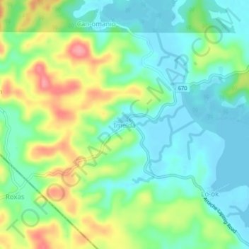
Name: Imelda topographic map, elevation, terrain.
Location: Imelda, Northern Samar, Eastern Visayas, Philippines (12.28651 125.25330 12.32651 125.29330)
Average elevation: 32 m
Minimum elevation: -1 m
Maximum elevation: 94 m