
Tupi topographic map
Interactive map
Click on the map to display elevation.
About this map
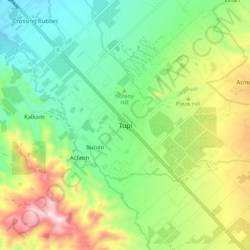
Name: Tupi topographic map, elevation, terrain.
Location: Tupi, South Cotabato, Philippines (6.29133 124.91116 6.37133 124.99116)
Average elevation: 358 m
Minimum elevation: 159 m
Maximum elevation: 720 m
Other topographic maps
Click on a map to view its topography, its elevation and its terrain.