
145 topographic map
Interactive map
Click on the map to display elevation.
About this map
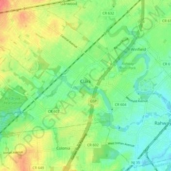
Name: 145 topographic map, elevation, terrain.
Location: 145, Clark, Union County, New Jersey, 07066, USA (40.60354 -74.35912 40.63998 -74.27692)
Average elevation: 23 m
Minimum elevation: 2 m
Maximum elevation: 54 m