
Bungahan topographic map
Interactive map
Click on the map to display elevation.
About this map
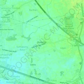
Name: Bungahan topographic map, elevation, terrain.
Location: Bungahan, Bulacan, Central Luzon, 3004, Philippines (14.84186 120.82099 14.88186 120.86099)
Average elevation: 7 m
Minimum elevation: 1 m
Maximum elevation: 13 m