
Pascua topographic map
Interactive map
Click on the map to display elevation.
About this map
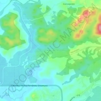
Name: Pascua topographic map, elevation, terrain.
Location: Pascua, Cantón Quepos, Provincia Puntarenas, 60601, Costa Rica (9.44652 -84.16128 9.48652 -84.12128)
Average elevation: 31 m
Minimum elevation: 2 m
Maximum elevation: 117 m