
Chocolate Island topographic map
Interactive map
Click on the map to display elevation.
About this map
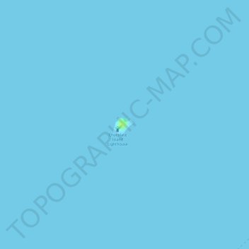
Name: Chocolate Island topographic map, elevation, terrain.
Location: Chocolate Island, Bogo, Cebu, Central Visayas, Philippines (11.30523 124.06316 11.30707 124.06492)
Average elevation: 0 m
Minimum elevation: 0 m
Maximum elevation: 15 m
Other topographic maps
Click on a map to view its topography, its elevation and its terrain.
Hilantagaan Island
Philippines > Cebu > Bogo
Hilantagaan Island, Bogo, Cebu, Central Visayas, Philippines
Average elevation: 10 m
Capitancillo Islet
Philippines > Cebu > Bogo
Capitancillo Islet, Bogo, Cebu, Central Visayas, Philippines
Average elevation: 0 m
Silagon Island
Philippines > Cebu > Bogo
Silagon Island, Bogo, Cebu, Central Visayas, Philippines
Average elevation: 0 m