
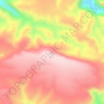
Mount Tate topographic map
Interactive map
Click on the map to display elevation.
About this map
Name: Mount Tate topographic map, elevation, terrain.
Location: Mount Tate, Northern Territory, Australia (-23.61748 131.63722 -23.61738 131.63732)
Average elevation: 1,092 m
Minimum elevation: 860 m
Maximum elevation: 1,188 m
Other topographic maps
Click on a map to view its topography, its elevation and its terrain.
Darwin
Australia > Northern Territory > Darwin
Darwin, City of Darwin, Northern Territory, 0800, Australia
Average elevation: 8 m
Groote Eylandt
Australia > Northern Territory
Groote Eylandt, Northern Territory, 0885, Australia
Average elevation: 18 m
Alice Springs
Australia > Northern Territory > Alice Springs
Alice Springs, Town of Alice Springs, Northern Territory, 0870, Australia
Average elevation: 631 m