
Oschersleben topographic map
Interactive map
Click on the map to display elevation.
About this map
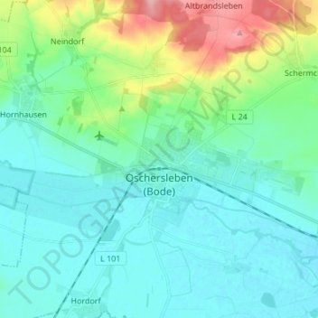
Name: Oschersleben topographic map, elevation, terrain.
Location: Oschersleben, Börde, Saksen-Anhalt, 39387, Duitsland (51.99509 11.18691 52.07146 11.32210)
Average elevation: 102 m
Minimum elevation: 75 m
Maximum elevation: 204 m