
Naju-si topographic map
Interactive map
Click on the map to display elevation.
About this map
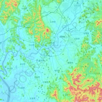
Name: Naju-si topographic map, elevation, terrain.
Location: Naju-si, Jeollanam-do, South Korea (34.86423 126.51293 35.11472 126.89878)
Average elevation: 70 m
Minimum elevation: -1 m
Maximum elevation: 526 m