
Deddington topographic map
Interactive map
Click on the map to display elevation.
About this map
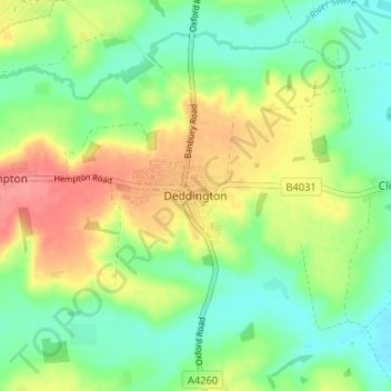
Name: Deddington topographic map, elevation, terrain.
Average elevation: 107 m
Minimum elevation: 77 m
Maximum elevation: 152 m
The parish's topography is alluded to in a local rhyme: