
Ayer Keroh topographic map
Interactive map
Click on the map to display elevation.
About this map
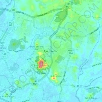
Name: Ayer Keroh topographic map, elevation, terrain.
Location: Ayer Keroh, Hang Tuah Jaya Municipal Council, 75450, Malaysia (2.21597 102.25273 2.29597 102.33273)
Average elevation: 21 m
Minimum elevation: 1 m
Maximum elevation: 158 m