
Taguig River topographic map
Interactive map
Click on the map to display elevation.
About this map
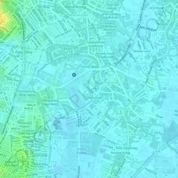
Name: Taguig River topographic map, elevation, terrain.
Location: Taguig River, Taguig, Metro Manila, 1637, Philippines (14.52704 121.06766 14.53036 121.06825)
Average elevation: 6 m
Minimum elevation: 1 m
Maximum elevation: 26 m
Other topographic maps
Click on a map to view its topography, its elevation and its terrain.