
Medio Island topographic map
Interactive map
Click on the map to display elevation.
About this map
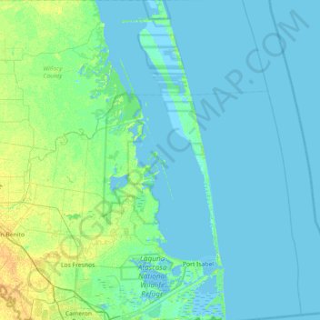
Name: Medio Island topographic map, elevation, terrain.
Location: Medio Island, Cameron County, Texas, United States (25.95980 -97.61359 26.59980 -96.97359)
Average elevation: 3 m
Minimum elevation: -3 m
Maximum elevation: 18 m