
Unib Island topographic map
Interactive map
Click on the map to display elevation.
About this map
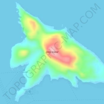
Name: Unib Island topographic map, elevation, terrain.
Location: Unib Island, Surigao City, Caraga, Philippines (10.00441 125.51177 10.03038 125.53850)
Average elevation: 26 m
Minimum elevation: 0 m
Maximum elevation: 177 m
Other topographic maps
Click on a map to view its topography, its elevation and its terrain.
Cabilan Islands
Philippines > Caraga > Surigao City
Cabilan Islands, Surigao City, Caraga, Philippines
Average elevation: 29 m