
Rotherbaum topographic map
Interactive map
Click on the map to display elevation.
About this map
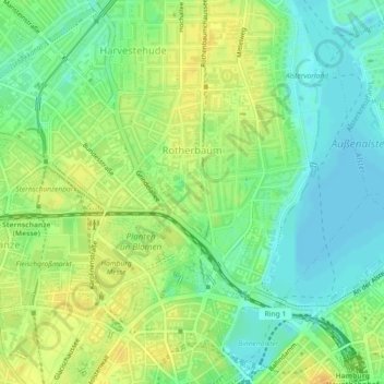
Name: Rotherbaum topographic map, elevation, terrain.
Location: Rotherbaum, Eimsbüttel, Hamburg, Deutschland (53.55699 9.97005 53.57385 10.00823)
Average elevation: 15 m
Minimum elevation: 2 m
Maximum elevation: 29 m
Other topographic maps
Click on a map to view its topography, its elevation and its terrain.