
Åre topographic map
Interactive map
Click on the map to display elevation.
About this map
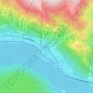
Name: Åre topographic map, elevation, terrain.
Location: Åre, Jämtland County, Region Norrland, Sweden (63.38109 13.06222 63.42109 13.10222)
Average elevation: 590 m
Minimum elevation: 370 m
Maximum elevation: 1,131 m