
Lancaster topographic map
Interactive map
Click on the map to display elevation.
About this map
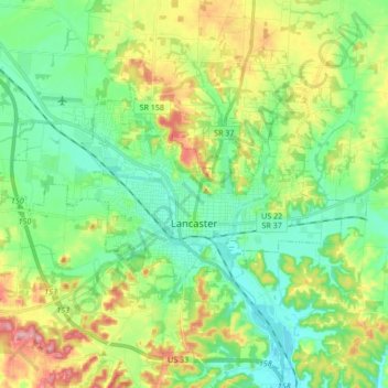
Name: Lancaster topographic map, elevation, terrain.
Location: Lancaster, Fairfield County, Ohio, 43130, USA (39.68739 -82.69342 39.75955 -82.52394)
Average elevation: 283 m
Minimum elevation: 237 m
Maximum elevation: 376 m