
Iga topographic map
Interactive map
Click on the map to display elevation.
About this map
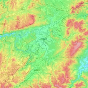
Name: Iga topographic map, elevation, terrain.
Location: Iga, Mie Prefecture, Kinki Region, Japan (34.55755 136.01995 34.90202 136.34234)
Average elevation: 351 m
Minimum elevation: 45 m
Maximum elevation: 924 m
Other topographic maps
Click on a map to view its topography, its elevation and its terrain.