
Tamugan River topographic map
Interactive map
Click on the map to display elevation.
About this map
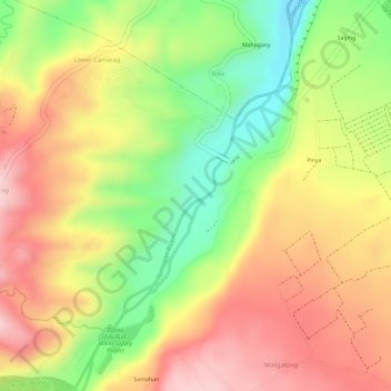
Name: Tamugan River topographic map, elevation, terrain.
Location: Tamugan River, Davao City, Davao Region, Philippines (7.18177 125.35893 7.21095 125.37577)
Average elevation: 458 m
Minimum elevation: 329 m
Maximum elevation: 559 m
Other topographic maps
Click on a map to view its topography, its elevation and its terrain.