
Greenleaf topographic map
Interactive map
Click on the map to display elevation.
About this map
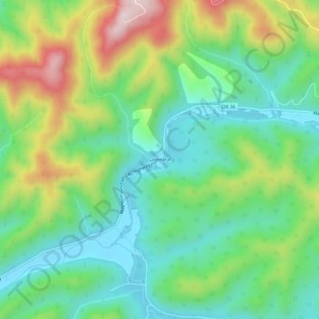
Name: Greenleaf topographic map, elevation, terrain.
Location: Greenleaf, Lane County, Oregon, USA (44.09373 -123.68705 44.13373 -123.64705)
Average elevation: 254 m
Minimum elevation: 95 m
Maximum elevation: 566 m