
Bongot Island topographic map
Interactive map
Click on the map to display elevation.
About this map
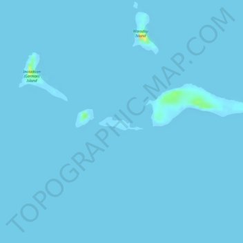
Name: Bongot Island topographic map, elevation, terrain.
Average elevation: 0 m
Minimum elevation: -4 m
Maximum elevation: 33 m
Other topographic maps
Click on a map to view its topography, its elevation and its terrain.
Maroday Island
Philippines > Palawan > Sitio Pamuayan
Maroday Island, Sitio Pamuayan, Palawan, Mimaropa, Philippines
Average elevation: 0 m