
Osnabrück topographic map
Interactive map
Click on the map to display elevation.
About this map
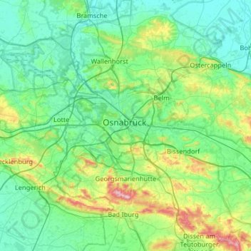
Name: Osnabrück topographic map, elevation, terrain.
Location: Osnabrück, Nedersaksen, 49074, Duitsland (52.10684 7.88974 52.42684 8.20974)
Average elevation: 94 m
Minimum elevation: 40 m
Maximum elevation: 326 m