
Stia topographic map
Interactive map
Click on the map to display elevation.
About this map
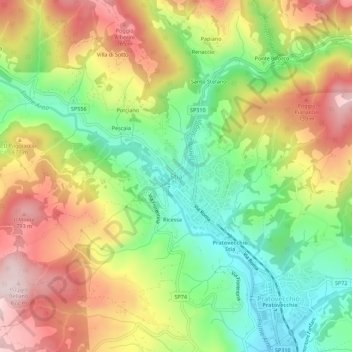
Name: Stia topographic map, elevation, terrain.
Location: Stia, Pratovecchio Stia, Arezzo, Toskana, 52017, Italien (43.78154 11.68673 43.82154 11.72673)
Average elevation: 595 m
Minimum elevation: 402 m
Maximum elevation: 821 m