
Seger an der Sau topographic map
Interactive map
Click on the map to display elevation.
About this map
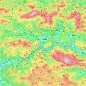
Name: Seger an der Sau topographic map, elevation, terrain.
Location: Seger an der Sau, Zasavska, Slowenien (46.04970 14.81181 46.20763 15.08580)
Average elevation: 570 m
Minimum elevation: 197 m
Maximum elevation: 1,210 m