
Little Lake topographic map
Interactive map
Click on the map to display elevation.
About this map
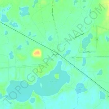
Name: Little Lake topographic map, elevation, terrain.
Location: Little Lake, Marquette County, Michigan, 49833, USA (46.26883 -87.36181 46.30883 -87.32181)
Average elevation: 343 m
Minimum elevation: 334 m
Maximum elevation: 364 m