
Long Branch topographic map
Interactive map
Click on the map to display elevation.
About this map
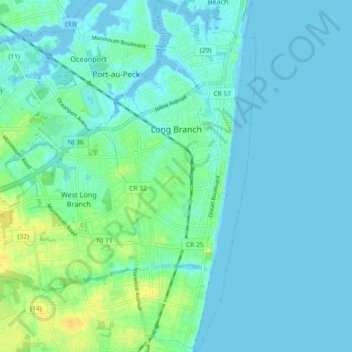
Name: Long Branch topographic map, elevation, terrain.
Location: Long Branch, Monmouth County, New Jersey, 07740, USA (40.26021 -74.01258 40.32978 -73.97166)
Average elevation: 5 m
Minimum elevation: -2 m
Maximum elevation: 23 m