
Perez Bajo topographic map
Interactive map
Click on the map to display elevation.
About this map
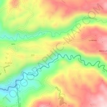
Name: Perez Bajo topographic map, elevation, terrain.
Location: Perez Bajo, Pereira, Risaralda Department, Colombia (4.71593 -75.71099 4.72704 -75.69934)
Average elevation: 1,515 m
Minimum elevation: 1,361 m
Maximum elevation: 1,640 m