
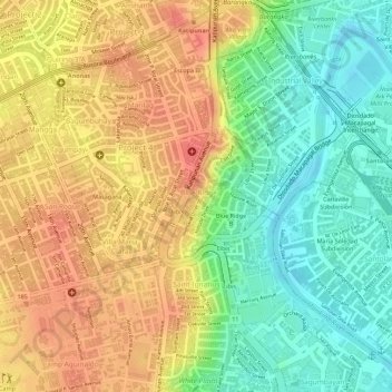
Blue Ridge A topographic map
Interactive map
Click on the map to display elevation.
About this map
Name: Blue Ridge A topographic map, elevation, terrain.
Average elevation: 35 m
Minimum elevation: 2 m
Maximum elevation: 62 m
Other topographic maps
Click on a map to view its topography, its elevation and its terrain.
Bagumbuhay
Bagumbuhay, Project 4, 3rd District, Quezon City, Metro Manila, 1109, Philippines
Average elevation: 46 m
Dioquino Zobel
Dioquino Zobel, Project 4, 3rd District, Quezon City, Metro Manila, 1109, Philippines
Average elevation: 45 m