
P1 topographic map
Interactive map
Click on the map to display elevation.
About this map
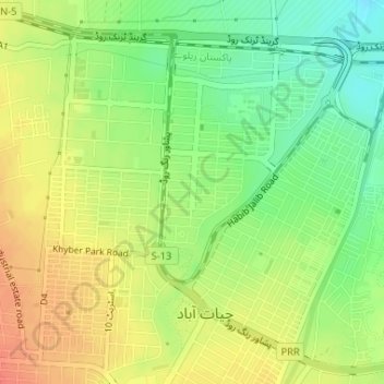
Name: P1 topographic map, elevation, terrain.
Location: P1, Hayatabad, Peshāwar District, Khyber Pakhtunkhwa, Pakistan (33.97627 71.43536 33.99627 71.45536)
Average elevation: 398 m
Minimum elevation: 373 m
Maximum elevation: 420 m