
Gamkonora topographic map
Interactive map
Click on the map to display elevation.
About this map
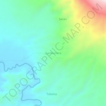
Name: Gamkonora topographic map, elevation, terrain.
Location: Gamkonora, Nordmolukken, Indonesien (1.44357 127.59006 1.48357 127.63006)
Average elevation: 269 m
Minimum elevation: 54 m
Maximum elevation: 942 m