
D 18 topographic map
Interactive map
Click on the map to display elevation.
About this map
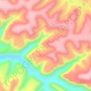
Name: D 18 topographic map, elevation, terrain.
Location: D 18, Ghayl Ba Yamin District, Hadramaut Governorate, Yemen (15.65716 49.13860 15.67716 49.15860)
Average elevation: 965 m
Minimum elevation: 824 m
Maximum elevation: 1,038 m
Other topographic maps
Click on a map to view its topography, its elevation and its terrain.
Basra
Yemen > Hadramaut Governorate > Basra
Basra, Aryaf al Mukalla District, Hadramaut Governorate, Yemen
Average elevation: 63 m