
Bezirksteil Nymphenburg topographic map
Interactive map
Click on the map to display elevation.
About this map
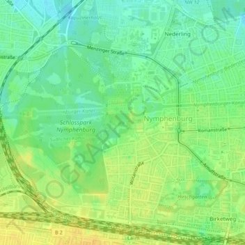
Name: Bezirksteil Nymphenburg topographic map, elevation, terrain.
Average elevation: 520 m
Minimum elevation: 508 m
Maximum elevation: 532 m
Other topographic maps
Click on a map to view its topography, its elevation and its terrain.
Bezirksteil Haidhausen Nord
Bezirksteil Haidhausen Nord, Stadtbezirk 05 Au-Haidhausen, Munich, Upper Bavaria, Bavaria, Germany
Average elevation: 530 m