
Preda topographic map
Interactive map
Click on the map to display elevation.
About this map
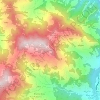
Name: Preda topographic map, elevation, terrain.
Location: Preda, PC, Emilia-Romagna, 29021, Italy (44.78961 9.56023 44.82961 9.60023)
Average elevation: 569 m
Minimum elevation: 270 m
Maximum elevation: 850 m