
Knokke-Heist topographic map
Interactive map
Click on the map to display elevation.
About this map
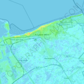
Name: Knokke-Heist topographic map, elevation, terrain.
Location: Knokke-Heist, Brugge, West Flanders, Flanders, Belgium (51.29608 3.22508 51.37270 3.38534)
Average elevation: 2 m
Minimum elevation: -2 m
Maximum elevation: 21 m
Other topographic maps
Click on a map to view its topography, its elevation and its terrain.