
Doetinchem topographic map
Interactive map
Click on the map to display elevation.
About this map
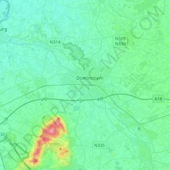
Name: Doetinchem topographic map, elevation, terrain.
Location: Doetinchem, Gelderland, Netherlands (51.92278 6.14469 51.99426 6.41608)
Average elevation: 17 m
Minimum elevation: 4 m
Maximum elevation: 86 m