
Comares topographic map
Interactive map
Click on the map to display elevation.
About this map
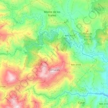
Name: Comares topographic map, elevation, terrain.
Location: Comares, La Axarquía, Malaga, Andalusia, 29195, Spain (36.82802 -4.29192 36.88862 -4.21815)
Average elevation: 355 m
Minimum elevation: 109 m
Maximum elevation: 737 m