
Masefield topographic map
Interactive map
Click on the map to display elevation.
About this map
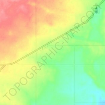
Name: Masefield topographic map, elevation, terrain.
Location: Masefield, Census Divsion No. 4, Saskatchewan, Canada (49.13000 -107.82000 49.17000 -107.78000)
Average elevation: 831 m
Minimum elevation: 795 m
Maximum elevation: 870 m