
Shirur (Kasar) topographic map
Interactive map
Click on the map to display elevation.
About this map
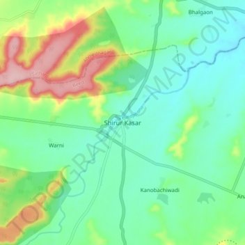
Name: Shirur (Kasar) topographic map, elevation, terrain.
Location: Shirur (Kasar), Bid, Maharashtra, India (19.02662 75.38700 19.10662 75.46700)
Average elevation: 571 m
Minimum elevation: 520 m
Maximum elevation: 691 m