
Alangilan topographic map
Interactive map
Click on the map to display elevation.
About this map
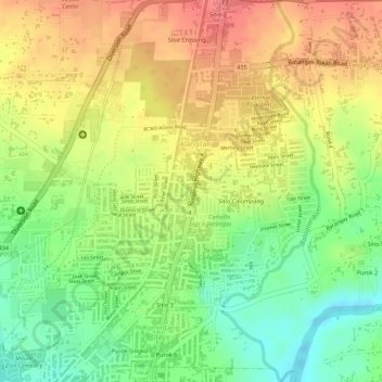
Name: Alangilan topographic map, elevation, terrain.
Location: Alangilan, Batangas City, Calabarzon, 4200, Philippines (13.77591 121.05577 13.78885 121.07758)
Average elevation: 51 m
Minimum elevation: 11 m
Maximum elevation: 86 m