
Surala topographic map
Interactive map
Click on the map to display elevation.
About this map
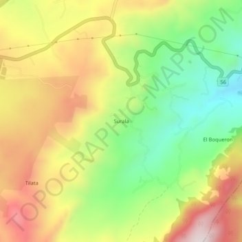
Name: Surala topographic map, elevation, terrain.
Location: Surala, Chocontá, Colombia (5.06667 -73.68602 5.10667 -73.64602)
Average elevation: 2,648 m
Minimum elevation: 2,356 m
Maximum elevation: 2,970 m