
Lockhart topographic map
Interactive map
Click on the map to display elevation.
About this map
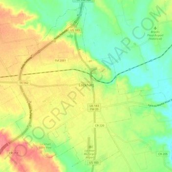
Name: Lockhart topographic map, elevation, terrain.
Location: Lockhart, Caldwell County, Texas, 78644, United States (29.84064 -97.72832 29.92447 -97.62464)
Average elevation: 156 m
Minimum elevation: 125 m
Maximum elevation: 193 m