
Sogane topographic map
Interactive map
Click on the map to display elevation.
About this map
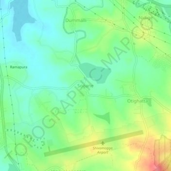
Name: Sogane topographic map, elevation, terrain.
Location: Sogane, Shivamogga taluku, Shimoga district, Karnataka, India (13.85129 75.59548 13.89129 75.63548)
Average elevation: 608 m
Minimum elevation: 582 m
Maximum elevation: 657 m