
Majuro topographic map
Interactive map
Click on the map to display elevation.
Majuro
At the western end of the atoll, about 50 kilometres (30 mi) from D–U–D by road, is the island community of Laura, an expanding residential area with a popular beach. Laura has the highest elevation point on the atoll, estimated at less than 3 metres (10 feet) above sea level.
About this map
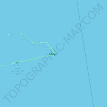
Name: Majuro topographic map, elevation, terrain.
Location: Majuro, 96060, Marshall Islands (6.93099 171.22164 7.25099 171.54164)
Average elevation: 0 m
Minimum elevation: 0 m
Maximum elevation: 16 m