
Hürtgen topographic map
Interactive map
Click on the map to display elevation.
About this map
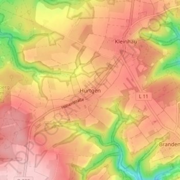
Name: Hürtgen topographic map, elevation, terrain.
Location: Hürtgen, Kreis Düren, Noordrijn-Westfalen, 52393, Duitsland (50.69288 6.36107 50.73288 6.40107)
Average elevation: 371 m
Minimum elevation: 251 m
Maximum elevation: 439 m