
Balearic Islands topographic map
Interactive map
Click on the map to display elevation.
About this map
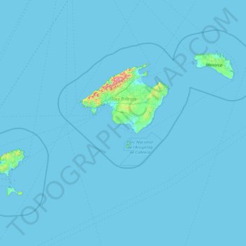
Name: Balearic Islands topographic map, elevation, terrain.
Location: Balearic Islands, Spain (38.64045 1.15727 40.09459 4.32793)
Average elevation: 9 m
Minimum elevation: -4 m
Maximum elevation: 1,317 m
Other topographic maps
Click on a map to view its topography, its elevation and its terrain.
Santa Margalida
Spain > Balearic Islands > Pla de Mallorca
Santa Margalida, Pla de Mallorca, Balearic Islands, Spain
Average elevation: 43 m