
San Teodoro topographic map
Interactive map
Click on the map to display elevation.
About this map
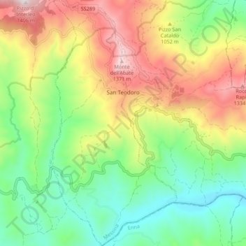
Name: San Teodoro topographic map, elevation, terrain.
Location: San Teodoro, Messina, Sicily, 98030, Italy (37.80517 14.67753 37.87025 14.72005)
Average elevation: 950 m
Minimum elevation: 653 m
Maximum elevation: 1,392 m