
東京湾 topographic map
Interactive map
Click on the map to display elevation.
東京湾
The shoal between Cape Futtsu in Chiba Prefecture and Cape Honmaku in Yokohama is known as Nakanose, and has a depth of 20 metres (66 ft). North of this area the bay has a depth of 40 metres (130 ft) and an uncomplicated underwater topography. Areas south of Nakanose are significantly deeper moving towards the Pacific Ocean.
About this map
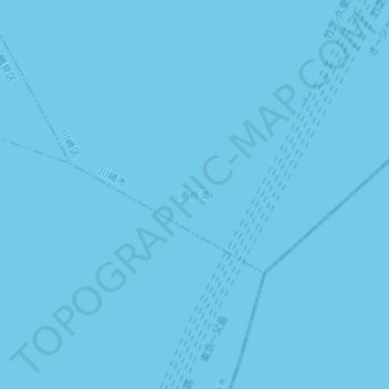
Name: 東京湾 topographic map, elevation, terrain.
Location: 東京湾, Kawasaki Ward, Kawasaki, Kanagawa Prefecture, Japan (35.41685 139.77095 35.41695 139.77105)
Average elevation: 0 m
Minimum elevation: 0 m
Maximum elevation: 0 m