
San Isidro (Bata) topographic map
Interactive map
Click on the map to display elevation.
About this map
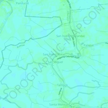
Name: San Isidro (Bata) topographic map, elevation, terrain.
Location: San Isidro (Bata), Bulacan, Central Luzon, 3002, Philippines (14.83931 120.71287 14.87931 120.75287)
Average elevation: 3 m
Minimum elevation: 0 m
Maximum elevation: 6 m