
Munting topographic map
Interactive map
Click on the map to display elevation.
About this map
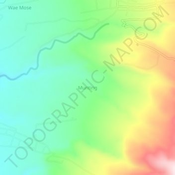
Name: Munting topographic map, elevation, terrain.
Location: Munting, KABUPATEN MANGGARAI, East Nusa Tenggara, Indonesia (-8.74765 120.18444 -8.70765 120.22444)
Average elevation: 305 m
Minimum elevation: 160 m
Maximum elevation: 565 m