
Bayugan 3 topographic map
Interactive map
Click on the map to display elevation.
About this map
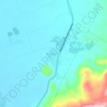
Name: Bayugan 3 topographic map, elevation, terrain.
Location: Bayugan 3, Rosario, Agusan del Sur, Caraga, 8504, Philippines (8.28081 125.98458 8.32081 126.02458)
Average elevation: 68 m
Minimum elevation: 12 m
Maximum elevation: 367 m
Other topographic maps
Click on a map to view its topography, its elevation and its terrain.